Village ofAlbaret-le-Comtal
#Discover
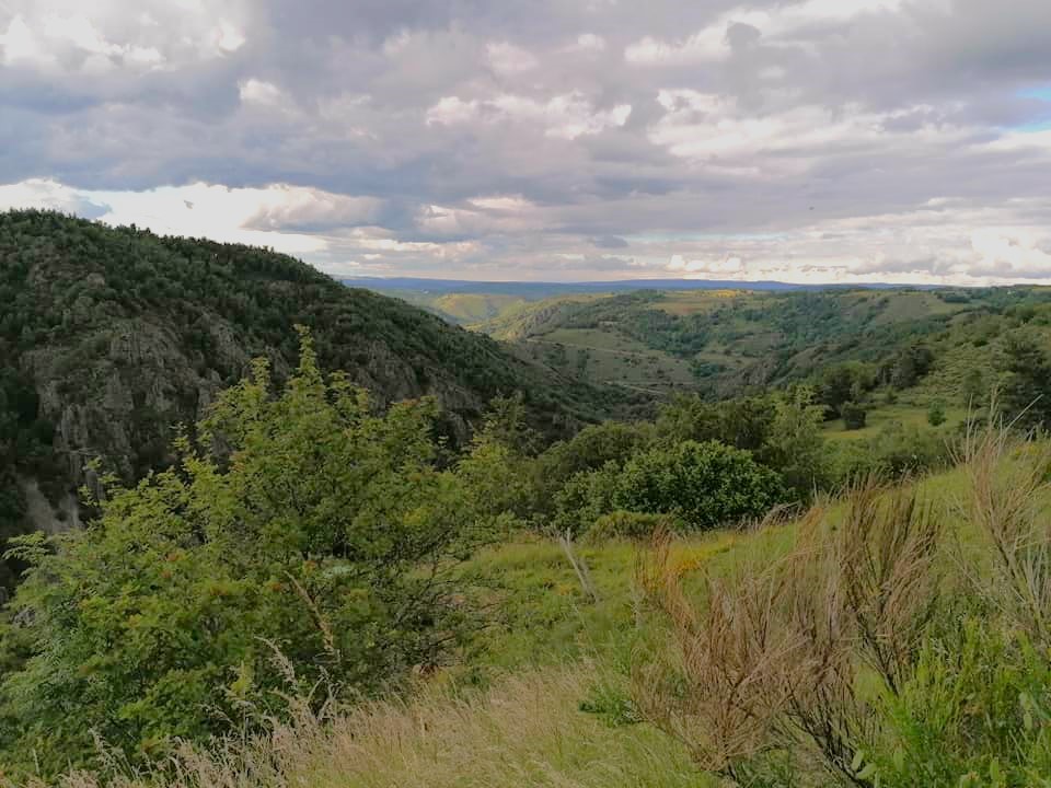
The village of Albaret-le-Comtal, situated at an altitude of 1,050 meters, overlooks the Bès River, whose gorges widen here to join the Grandval reservoir. This charming village offers breathtaking views of the Plomb du Cantal mountain. With its 191 inhabitants, Albaret-le-Comtal is a lively place, enlivened by its seasonal festivities. Its name, derived from the Latin “betulus alba” for white birch and “populus alba” for white poplar, perfectly evokes the surrounding vegetation, as its coat of arms reminds us.
A bit of history
Albaret-le-Comtal is the northernmost commune in the Communauté des Hautes Terres de l’Aubrac, bordering the Cantal department, separated by the Bès gorges.
The name comes from the Occitan word “albar,” which refers to the sapwood or aspen (white poplar). Thus, the Bès, the reservoir created by the Grandval dam, marks the southern edge of the village.
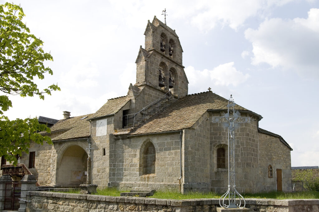
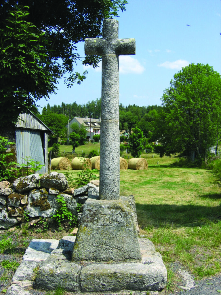
The 13th-century church has a bell gable with four openings and sculpted corbels. The village also boasts two wrought-iron crosses, one of which dates from 1848 and is adorned with the instruments of the Passion. These elements bear witness to the historical and religious heritage of Albaret-le-Comtal.
exploring the village
Saint-Barthélémy Church (or Saint-Flour Church). 13th-century Romanesque chancel and bell tower with two tiers of arcades, each housing two bells.
Wrought-iron cross. Two crosses stand near the church: one adorned with fleurs-de-lis and a sun, the other, the “Cross of Trades,” decorated with tools symbolizing different trades.
Clog and Shoe Museum. Housed in a former stable, it displays the tools and machines used to make clogs, with remarkable sculptures on the pediment.
Montaigut Cross. Located at the summit of Puech de Montaigut, it served as a site of annual pilgrimage and bears witness to an ancient tradition.
on foot from Albaret
Looking to get some fresh air? Starting from Albaret-le-Comtal, two hiking trails will take you on a journey to discover the landscapes, forests, and viewpoints surrounding the town.
Download the detailed hiking guides for each route for free: distance, duration, difficulty level, trail markings… everything you need to plan your outing with complete peace of mind.